240 ENGINEERING AND DESIGN INC
Our mission is to provide cutting-edge drone data capture solutions that drive progress and efficiency across various industries. We strive to deliver accurate and detailed information that empowers our clients to make informed decisions, optimize their processes, and achieve exceptional results in their projects.
Our vision is to be recognized as leaders in the drone data capture industry, known for our innovation, quality, and commitment to excellence. We aspire to be the preferred partner for companies and organizations seeking precise and reliable solutions for their surveying and aerial mapping needs. Furthermore, we aim to promote responsible use of aerial technology to foster sustainable development and enhance the quality of life in the communities where we operate.
10 years of experience.
contact us

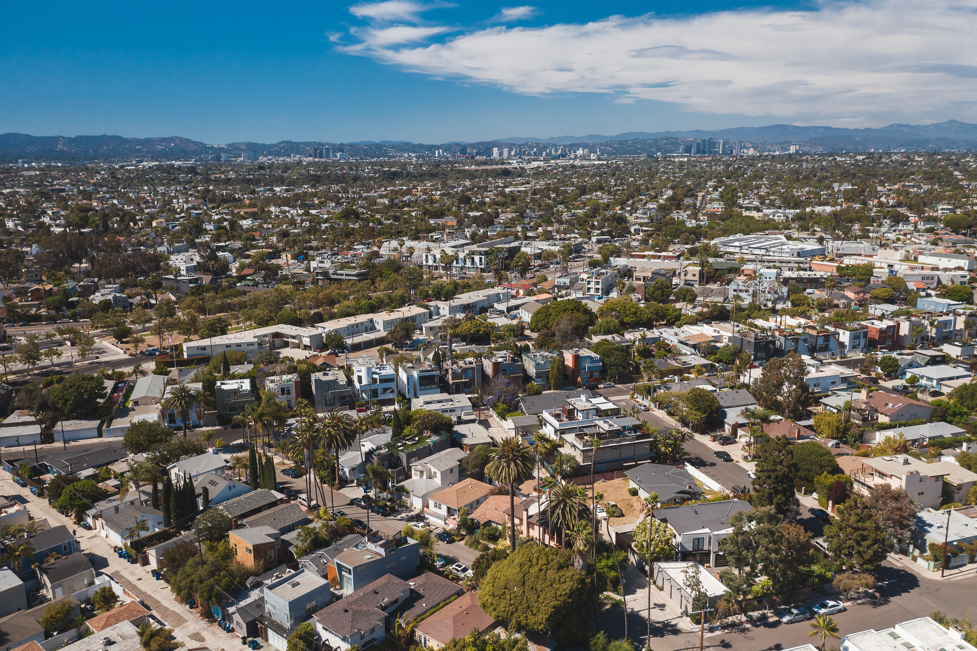
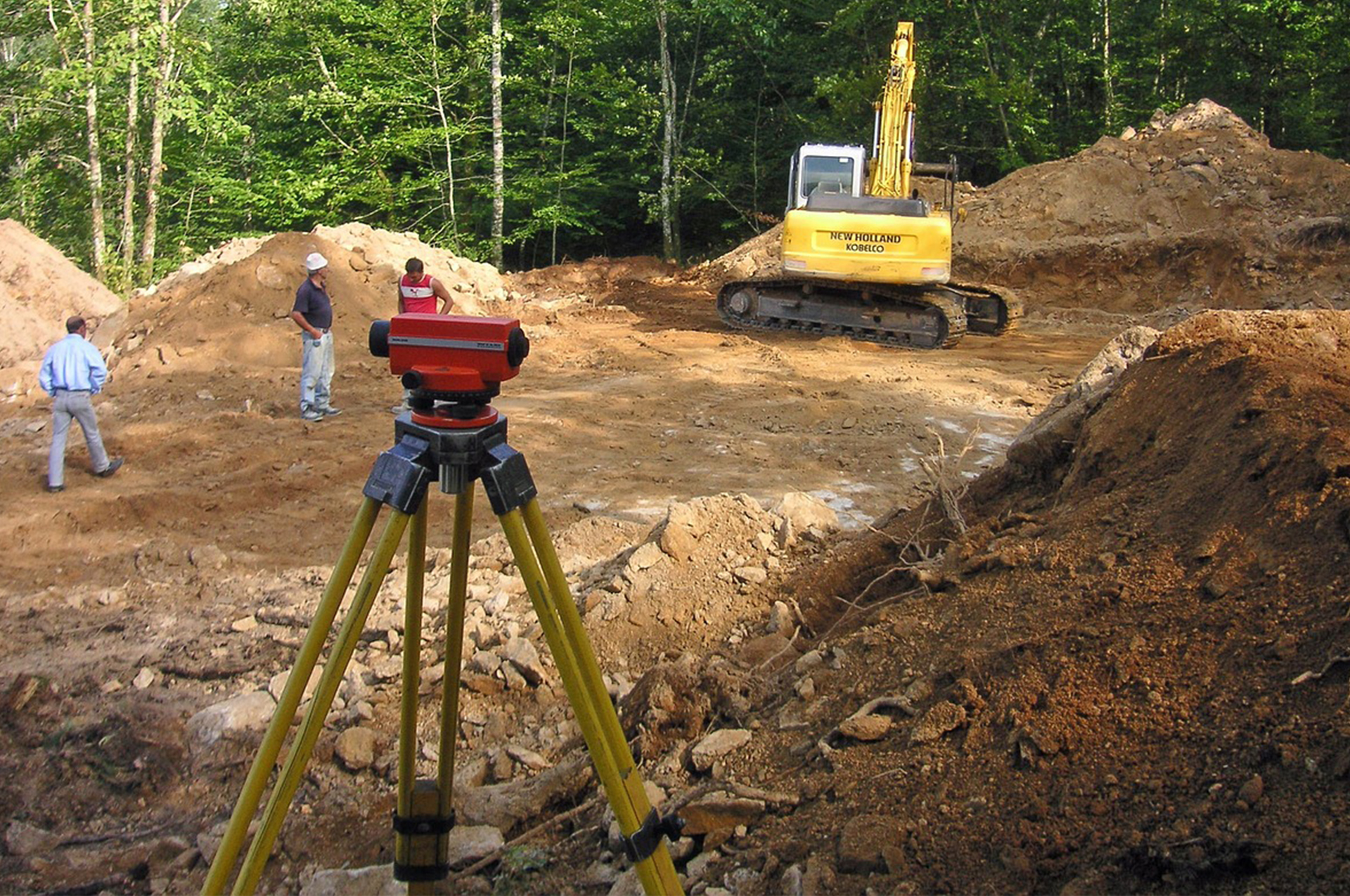
Lidar data collection for topographic surveys
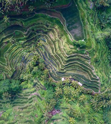
Using drone technology, you will perform accurate and detailed topographic surveys of land, construction sites or specific areas, providing essential geospatial data for project design and planning.
contact us
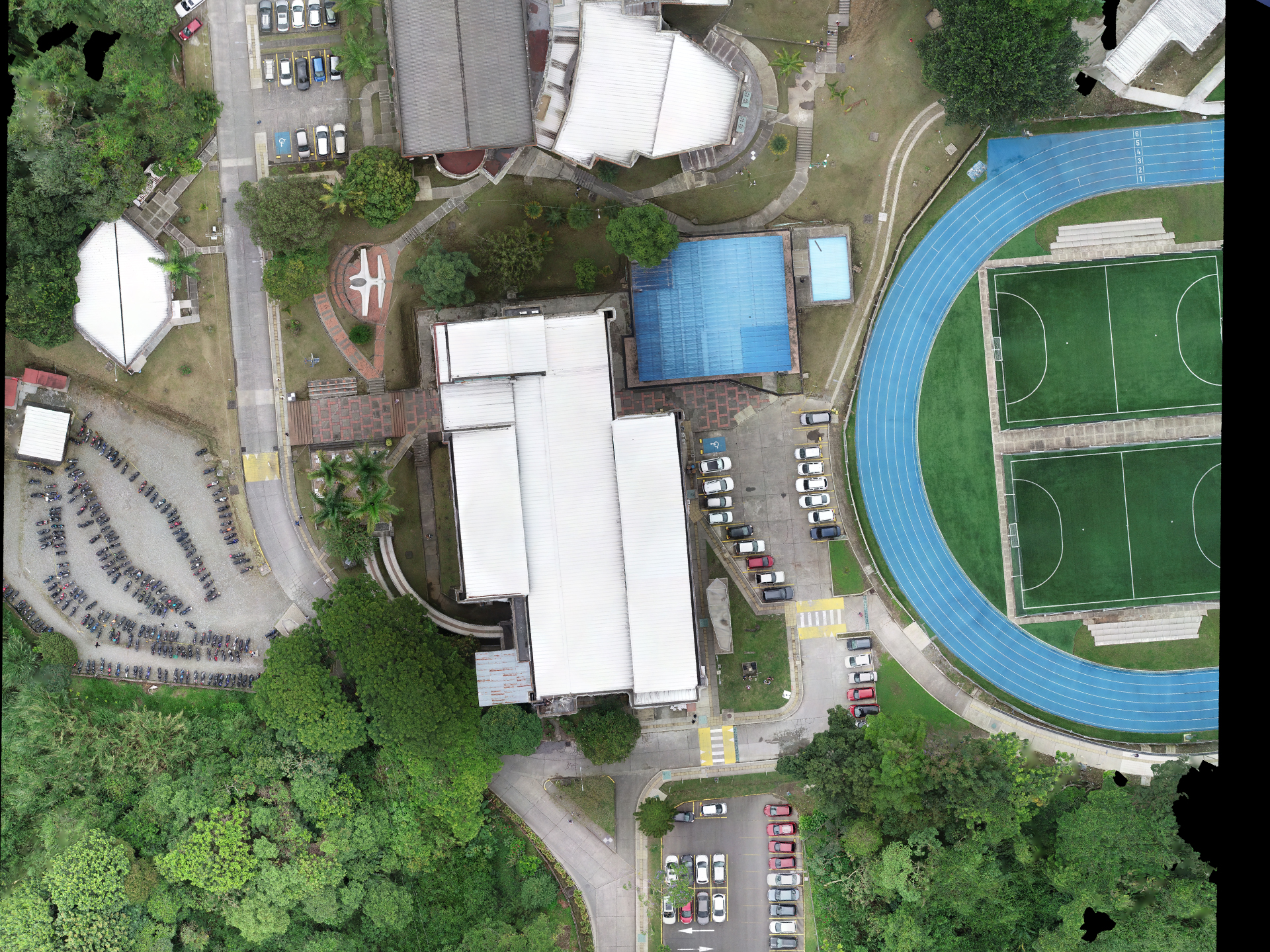
Drone photogrammetry
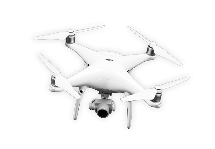
You will use drones equipped with high-resolution cameras to capture aerial images and generate accurate three-dimensional models of terrain, buildings or infrastructure. These models will be used for analysis, visualizations and volumetric measurements.
contact us
LIDAR scan
With laser scanning technology, you will perform LIDAR (Light Detection and Ranging) scans to obtain precise data on the surface of the land, infrastructures and objects, allowing detailed analysis and generation of 3D models.
contact us
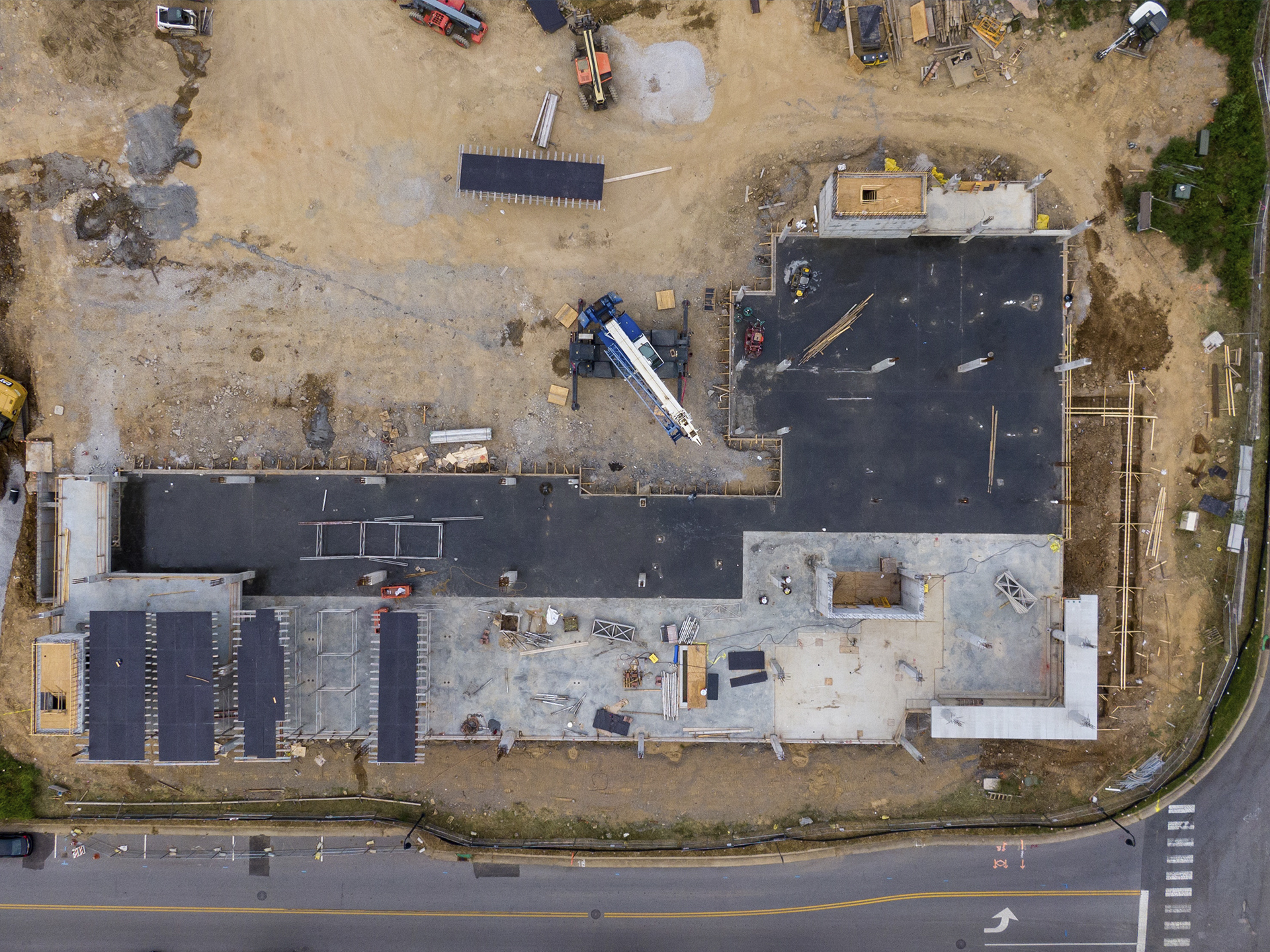
Inspections and monitoring
You will carry out regular inspections using drones to inspect infrastructure, construction sites, industrial plants and transmission lines, which will allow you to detect anomalies, assess the condition of assets and decide based on data.
contact usMore of our services
We offer you all the services for design and construction.
By contracting with us
We offer you experience, professionalism, equipment and high-quality work.
contact usVideos
contact us
If you are interested in any of our services or want more information, please contact us.
Ask about the services available in the country you are in.
Our clients

